


SOS 100: New Gen Ed Course in the Spring
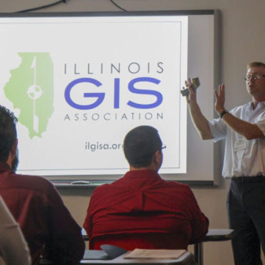
Mike Rudibaugh teaching the GIS course. Photo via Journal Gazette & Times-Courier.
November 1, 2022
November is Geographical Information Systems (GIS) month! GIS Day is celebrated on November 16 this year. Beginning in 1999, many national geographical organizations, spearheaded by Ralph Nader, an American activist and lawyer, chose the third Wednesday in November to recognize GIS as a discipline and for people to learn more about geography as well as GIS technology.
GIS is taught as Geospatial Technology on campus and since 1999, Dr. Mike Rudibaugh has taught all the courses in the field. Registration also opens in November, so students can register for classes for the upcoming spring semester. The new course within Geospatial Technology, which students can register for this forthcoming semester, is “SOS 100: Maps and Spatial Analysis.” There are no course prerequisites. Students will be required to download and install ArcGIS Pro software and establish ArcGIS Online accounts to complete assignment/lab elements within the course. Both of these resources are accessible and free through http://www.esri.com.
Within this course, there will be four exams covering the textual readings as well as assignments. There are also several web-based exercises for each student to complete. Each exercise provides students the opportunity to increase their spatial analysis skill set using technologies such as GPS, GIS, satellite imagery, and drones. Students will be required to evaluate and write a short spatial analysis of maps and techniques used to evaluate trends associated with map patterns.
This class has many video assignments. The content of the videos includes both conceptual and practical information. The videos range in time from 1 min to 30 minutes. There will be several Discussion Board prompts related to these videos that will require your participation through written feedback on issues, technologies and ethical issues shaping the use of geospatial technology.
The course will be offered online, allowing students to work on the class anytime and anywhere to support their busy schedules. All elements and technology used in the class will be delivered online, allowing students the ability to use and learn about mapping technologies used in a variety of occupational fields like law enforcement, biology, natural resources, sociology, history and geography. Typical projects will involve issues like understanding the spread and movements of pandemics such as COVID-19, AIDS, SARS and Ebola virus.
Rudibaugh mentioned that the “National Science Foundation over a decade ago wanted more community colleges and universities nationally to be getting students introduced to GIS concepts.” He then went on to add, “Geospatial Technology is part of many occupational sectors that there is an unmet demand for people with skills in areas such as agriculture, transportation, engineering, local government, utilities and law enforcement. Everybody in these fields uses digital maps and drones. This class (SOS 100) is intended to teach students how to use those technologies to use maps as problem-solving tools. The key of this course is designed to fulfill general education requirements.”
Rudibaugh explained that this course “meets general education requirements in social and behavioral sciences. This course fulfills and lines up with courses in history, sociology, political science, law enforcement and anthropology.”
Rudibaugh said that, “Brooke Ferguson, an adjunct teacher on campus, will be teaching this course. Ferguson has used GIS many times in her career and she has a lot of Workforce Experience. She was a GIS Analyst and Technician in the Workforce so she is a perfect person to teach the course because she uses it in her professional work as well. We’re lucky to have her.” Rudibaugh projects that “Ferguson has taught for about ten years.”
Ferguson has also worked with the LLC’s Grounds Crew to maintain the campus’ buildings. According to Rudibaugh, “All the buildings on campus have been mapped for monitoring infrastructure issues and Brooke maintained, if not built many if not all the maps that are used by Lake Land for Maintenance and Grounds Crew that support our campus. The maps will be used for modeling for our law enforcement team at Lake Land for a disaster situation. The maps online can be used for a response if we have an issue on campus.”
The textbooks for the course are online, which students can view for enrichment as well as for homework assignments. The goals for this course are threefold: 1) to help you to think spatially, analytically, and critically; 2) To help you become better problem solvers using maps; 3) to teach
students how to use maps and spatial analysis to understand geographic problems.